As PostGIS has limited raster capabilities compared to the sophisticated algorithms that GRASS GIS has, we have no way to calculate walking distances in our spatial database. However, in PostGIS, we can query raster tables and carry out basic terrain analysis, like calculating aspect. Querying raster layers with points is a surprisingly fast operation in PostGIS, as it can use the bounding boxes of raster tiles for geometry indexing, transform our points to pixel coordinates in the correct tile, and get the corresponding value from the stored binary raster by calculating an offset in bytes. We can use the ST_Value function to query raster data as follows:
    SELECT h.*, ST_Value(r.rast, h.geom) AS elevation
     FROM spatial.vw_semifinalhouses h, spatial.srtm r
     WHERE ST_Intersects(r.rast, h.geom);
The only limitation of ST_Value is that it only accepts single-part points. Therefore, if we stored our houses as multipoint geometries, we need to extract the first geometry from them manually. If you got an error for the preceding query, that is a probable case. We can extract single-part geometries from a multipart geometry with the ST_GeometryN function, which needs a multipart geometry and a position as arguments. If we saved our houses table as multipoints, each geometry holds the single-part representation of our houses in its first position:
    SELECT h.*, ST_Value(r.rast, ST_GeometryN(h.geom, 1)) AS elevation
     FROM spatial.vw_semifinalhouses h, spatial.srtm r
     WHERE ST_Intersects(r.rast, h.geom);
Although raster queries are fast in PostGIS, raster calculations are quite slow, as PostGIS has to execute the required operations on the requested tiles. There are a lot of possibilities from which we will use the ST_Aspect function to calculate the aspect in the locations of our houses. It is quite easy to add this function to our query, as it only needs a raster as an input. Furthermore, we should modify our query to only return houses with a southern aspect:
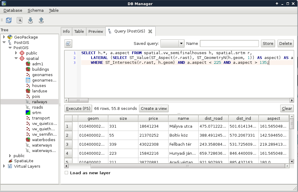
    SELECT h.*, a.aspect FROM spatial.vw_semifinalhouses h,
     spatial.srtm r,
     LATERAL (SELECT ST_Value(ST_Aspect(r.rast), ST_GeometryN(h.geom,
     1)) AS aspect) AS a
     WHERE ST_Intersects(r.rast, h.geom) AND a.aspect < 225 AND
     a.aspect > 135;
Great work! We just fulfilled every criteria of one of our customers entirely in PostGIS. Although raster calculations are faster in QGIS and GRASS, and uploading rasters into PostGIS is cumbersome, it is worth considering uploading processed rasters to PostGIS for the convenience and performance of plain raster queries: