Mike Bostock provides an excellent tutorial on simplification, and how it works, at http://bost.ocks.org/mike/simplify/.
Basically, it is a way to reduce geometric complexity through line-simplification algorithms. For example, if you do not need much detail in a very jagged coast of a country, you can apply line-simplification algorithms to smooth out the jaggedness and significantly reduce the size of the TopoJSON file. The command-line parameter you use is -s to adjust the simplification in the TopoJSON conversion:
-p name=ISO -s 7e-7 -- ESP_adm0.shp
We typically realize that when dealing with shapefiles from DIVA-GIS, the best range is around 7e-7 to keep within the per-pixel threshold, which is less than the area of the map. At this range, the size compression is very significant and the map quality is still very acceptable for web development. Consider the following:
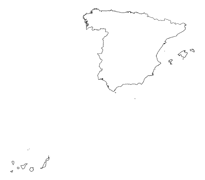
- Original: 378 KB, great detail and quality:
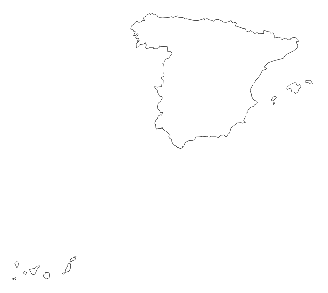
- Simplified at -s 7e-7: 3.6 KB and acceptable quality:
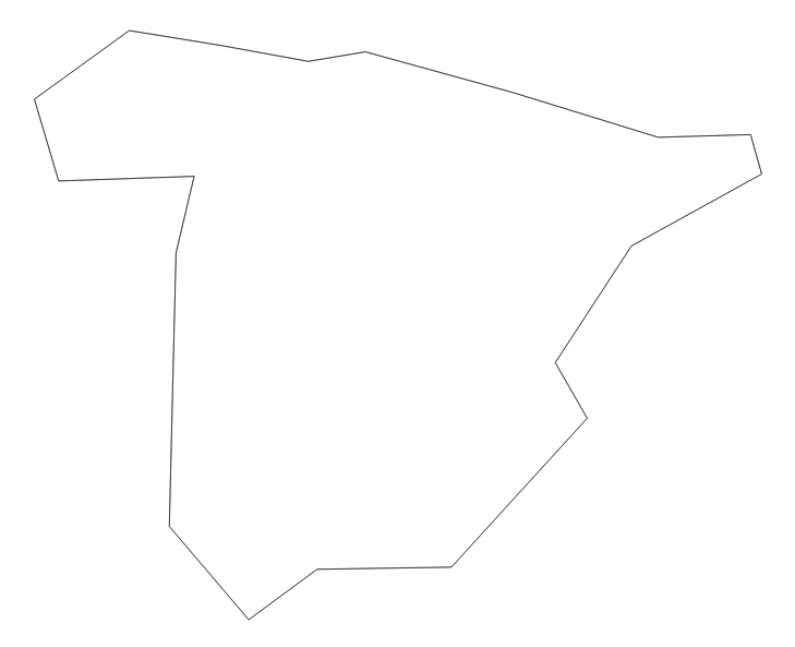
- Very simple at -s 7e-5: 568 bytes but the map is unrecognizable: