
Before we start working with topology, we need to discuss the key concepts behind the PostGIS topological data model. PostGIS topology implementation is based on ISO standard 13249 - Information technology - Database languages - SQL multimedia and application packages - Part 3: Spatial. The standard name is often abbreviated as ISO SQL/MM. This standard defines two data models for topology: TopoGeometry and TopoNetwork; PostGIS implements only the former.
In this model, there are three kinds of elements/primitives used to compose geospatial features: nodes, edges, and faces.
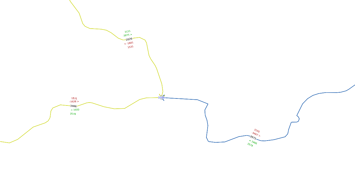
Nodes are point features. They can exist on their own (isolated nodes) or serve as connection points for linear features (the edges). For example, this is a Czech-Polish-Slovak tripoint near Jaworzynka village, which contains a node and three edges:
In topology, only one node can appear for a specified coordinate pair - if there are more nodes in the same place, the topology is invalid.
Edges are linear features. They must start precisely at one node and end at another node; both nodes' IDs are stored in a database. If there is a mismatch between the node ID and its position, or if an edge crosses a node without ending, the topology is considered invalid.
Faces are used to represent polygons. Their precise geometry is not stored, only the polygon's bounding boxes, called MBR from Minimum Bounding Rectangle, are stored. Instead, the left_face and right_face columns in the edge_data table are used to determine the geometry of the faces. Faces must not overlap or be contained within another face.