
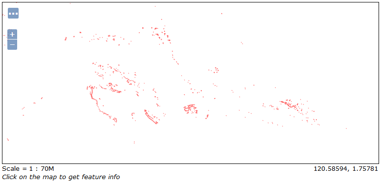
Creating GeoServer layers to be outputted via WFS is exactly the same as for WMS, so we have already configured one layer. As an exercise, please configure a layer for the second table we imported, ne_reefs. When ready, it should look like this one when you preview it (note I have changed the color to red):
When you change the preview output to WFS, you will not see an image, but rather the output of a GetFeature request. By default, GeoServer limits output to 50 features; I have changed the URL to only return the first one though:
http://10.0.0.19:8080/geoserver/mastering_postgis/ows?service=WFS&version=1.0.0&request=GetFeature&typeName=mastering_postgis:ne_coastline&maxFeatures=1&outputFormat=gml3
Thanks to that, we can paste the following XML:
<wfs:FeatureCollection numberOfFeatures="0" timeStamp="2016-11-18T18:49:56.136Z" xsi:schemaLocation="http://www.opengis.net/wfs http://10.0.0.19:8080/geoserver/schemas/wfs/1.1.0/wfs.xsd mastering_postgis http://10.0.0.19:8080/geoserver/mastering_postgis/wfs?service=WFS&version=1.0.0&request=DescribeFeatureType&typeName=mastering_postgis%3Ane_coastline">
    <gml:featureMembers>
        <mastering_postgis:ne_coastline  gml:id="ne_coastline.1">
            <mastering_postgis:gid>1</mastering_postgis:gid>
            <mastering_postgis:scalerank>6.00000000000</mastering_postgis:scalerank>
            <mastering_postgis:featurecla>Coastline</mastering_postgis:featurecla>
            <mastering_postgis:geom>
                <gml:MultiLineString srsName="http://www.opengis.net/gml/srs/epsg.xml#4326" srsDimension="2">
                    <gml:lineStringMember>
                        <gml:LineString>
                            <gml:posList>
                            -71.31509355 41.58079662 -71.30467689 41.60423412 -71.3033748 41.62636953 -71.31769772 41.63287995 -71.33071855 41.64720287 -71.33592689 41.65761953 -71.34373939 41.67064037 -71.35545814 41.6602237 -71.35936439 41.64199453 -71.35676022 41.63157787 -71.33592689 41.62636953 -71.33071855 41.61074453 -71.33722897 41.59251537 -71.33722897 41.5820987 -71.33071855 41.57558828 -71.31509355 41.58079662
                            </gml:posList>
                        </gml:LineString>
                    </gml:lineStringMember>
                </gml:MultiLineString>
            </mastering_postgis:geom>
        </mastering_postgis:ne_coastline>
    </gml:featureMembers>
</wfs:FeatureCollection>